Our Businesses

Offshore and Hydrographic Survey Services in Tamil Nadu

Measured carefully, reported plainly.

Brand graphic for RPS Offshore Surveys: the division’s line mark over the Group’s night ground
01Offshore Surveys

Offshore Surveys

RPS Offshore Surveys

Measured carefully, reported plainly.

The division’s work divides into two: survey, and geotechnical. Survey covers charting the seabed and inspecting what is installed on it; geotechnical covers what the ground beneath is made of. Both feed the same kinds of decision — port developments, environmental assessments and offshore engineering studies — and both are only worth what their accuracy is worth. The approach is that measurement, processing and reporting are the deliverable rather than paperwork around one: a result that cannot be traced back to how it was obtained is not a result anyone should build on. Offshore conditions are unforgiving of shortcuts, so the standard is set by the conditions rather than by the contract.

Intended capabilities

  • Hydrographic and offshore survey work
  • Geotechnical investigation support
  • Data processing, cartography and reporting
  • Survey equipment maintenance and operations support
  • ROV operator services
  • Hydrographic survey
  • Geotechnical investigation
  • Data processing and cartography
  • Safety-first operations
  • Clear reporting
Start an enquiry

Capabilities

What the division surveys

Survey work divides by what you need to see: the shape of the seabed, what is lying on it, what is under it, and how the water above it moves.

  • Hydrographic and bathymetric survey

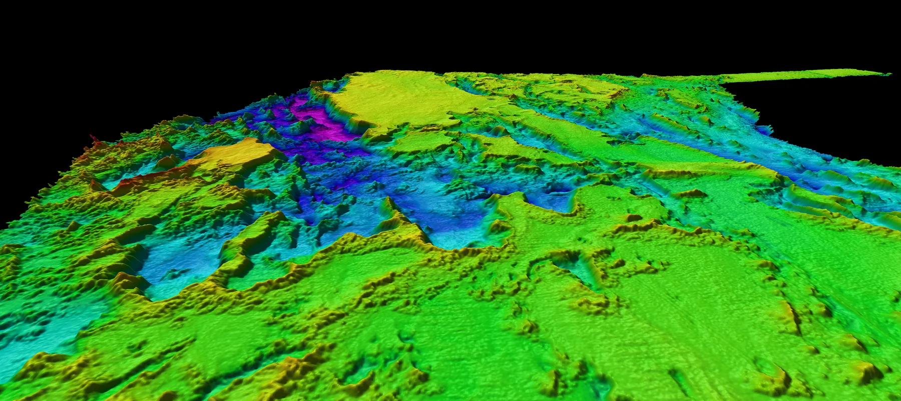
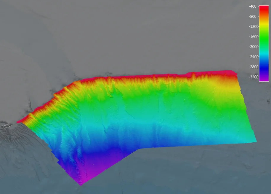
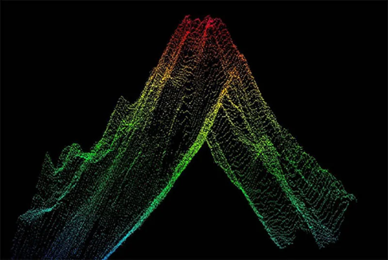
    Measuring and mapping the shape of the seabed. A single-beam echo sounder reads depth directly beneath the vessel along each line run; a multibeam sweeps a wide swath and returns dense, continuous coverage. The output is charts, depths and volumes — the basis for dredging, navigation, and anything built on or near the water.

  • Side scan sonar

    An acoustic image of the seabed rather than a depth reading. It shows texture and objects — wrecks, pipelines, cables, rock and debris — and is normally run alongside multibeam and sub-bottom work, since identifying what is down there and measuring how deep it sits are different jobs.

  • Sub-bottom profiling

    Looking beneath the seabed rather than at it: sediment layers and their thickness, buried channels, and the depth to harder ground. It is what a cable or pipeline route investigation rests on, and what tells a dredging or port project whether the material it expects to move is actually there.

  • ROV inspection

    A remotely operated vehicle flown from a vessel, platform or shore on an umbilical, returning live video and sensor data. Used for structure and pipeline inspection, cathodic protection readings, and hull and marine growth inspection — the close-up work that sonar from the surface cannot do.

  • Uncrewed surface and underwater vehicles

    A USV carries survey sensors without anyone aboard, which suits shallow water, hazardous areas and jobs where putting a crewed vessel on site is disproportionate. An AUV runs untethered to a pre-programmed mission, which suits long lines and deeper water where a surface vessel overhead adds cost without adding much.

  • Currents, tides and metocean monitoring

    An ADCP profiles current speed and direction through the water column. Tide gauges record water level against a fixed datum, which is what corrects survey depths and supports port operations. Metocean buoys report weather and sea state continuously. Together they describe the water a project has to work in, rather than the ground under it.

  • Route, burial and UXO surveys

    Pipeline and cable route surveys, depth-of-burial checks, touch-down monitoring during installation, and unexploded ordnance surveys. These are the investigations done before and during an installation, where the cost of finding something late is measured in vessel days.

  • Oil spill monitoring for ports and harbours

    Detecting a slick early, confirming it is oil, and predicting where it will go. Radar picks out the flattened water a slick leaves; optical and thermal cameras and drone overflights confirm what the radar found; current, tide and wind data drive the drift estimate. The point of the system is to send a response team to the right place while the spill is still small.

Looking Ahead

Every new opportunity is another leaf on the same tree.

This space is for real milestones. Until the Group’s own record is written up it marks the intent instead: patient, deliberate growth from one shared foundation.